Advanced Drone Solutions BC Inc.
Pix4Dreact
Pix4Dreact
Regular price
$0.00 CAD
Regular price
Sale price
$0.00 CAD
Unit price
per
Couldn't load pickup availability
PIX4Dreact
Capture
Fly your drone to capture the images you need. Plan an optimized and automated flight with an app like PIX4Dcapture for Parrot and DJI drones.
Process
Combine large numbers of images in minutes with PIX4Dreact. Create measurable 2D maps in the field or back at base.
*Results and speed will vary according to image size and number.
*Results and speed will vary according to image size and number.
Examine
With PIX4Dreact’s simple tools, identify and measure points of interest, mark and evaluate your maps while on the ground to provide powerful data needed to take action.
Share
Export your maps to ensure teams and decision makers are provided with effective information when it’s needed most.
Respond
With up-to-date maps, gain precious time, improve safety and reduce costs when responding to an evolving situation.
The mapping software for emergency response
Get rapid and reliable situational awareness for quick decisions and collaboration in the field.
Fast
PIX4Dreact creates 2D maps from aerial imagery in minutes. Because when every second counts, up-to-date and reliable information is of utmost importance to teams on the ground.
Easy to use
Simple and intuitive to use, even in complex and stressful situations. PIX4Dreact is developed with public safety and humanitarian aid professionals to meet their unique challenges.
Lightweight and robust
Lightweight enough to work on a mid-range computer in the field. PIX4Dreact doesn’t rely on an internet connection or the cloud for processing.
Share findings
PIX4Dreact outputs can be uploaded to PIX4Dcloud for sharing. Export your maps and reports and seamlessly send them to colleagues or teams on the ground.
In a crisis, every second counts.
Reliable situational awareness in complex situations
The map you need when you need it
Ensure teams and decision makers are provided with timely and effective information needed to take action.
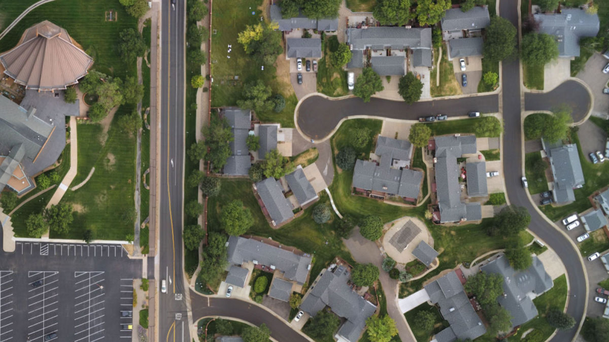
2D orthomosaic map
PIX4Dreact uses fast-stitching technology to create accurate 2D orthomosaic maps by combining a large number of nadir drone images.
Export format: geoTIFF
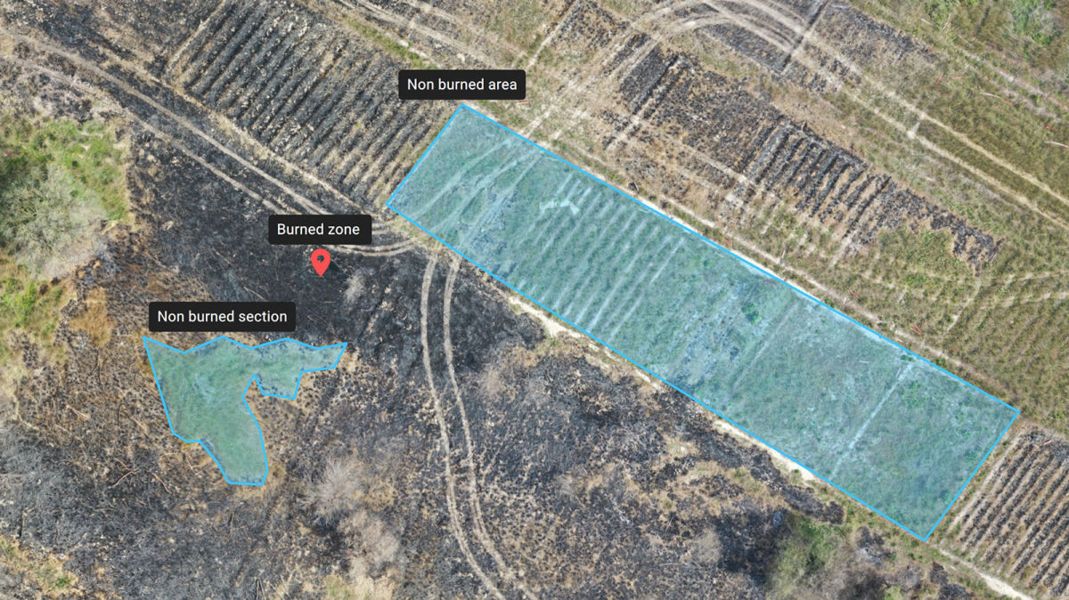
Markers and measurements
Mark areas of interest or GPS coordinates within the project and assess the situation on the ground for smoother collaboration or long-term documentation.
Markers export formats: GeoJSON, KML, Shapefile
Measurements export format: PDF
Measurements export format: PDF
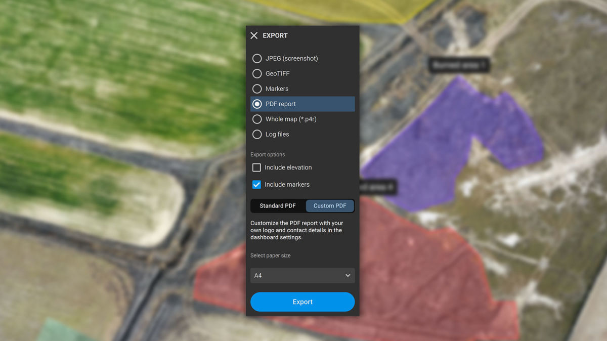
Screenshots and whole maps
Document and collaborate in seconds with options to export your maps as screenshots or a whole map that can be imported into PIX4Dreact on another computer.
Screenshots export format: JPEG
Whole maps export format: p4r
Whole maps export format: p4r
PDF Report
Easily share a 2D orthomosaic, location data and markers in one file over email. Customize the report by white labeling it with your company details and logo.
Export format: PDF
Helping emergency teams on the ground
Developed with the help of emergency responders, PIX4Dreact is designed to be the optimal 2D fast mapping software for public safety and humanitarian aid professionals
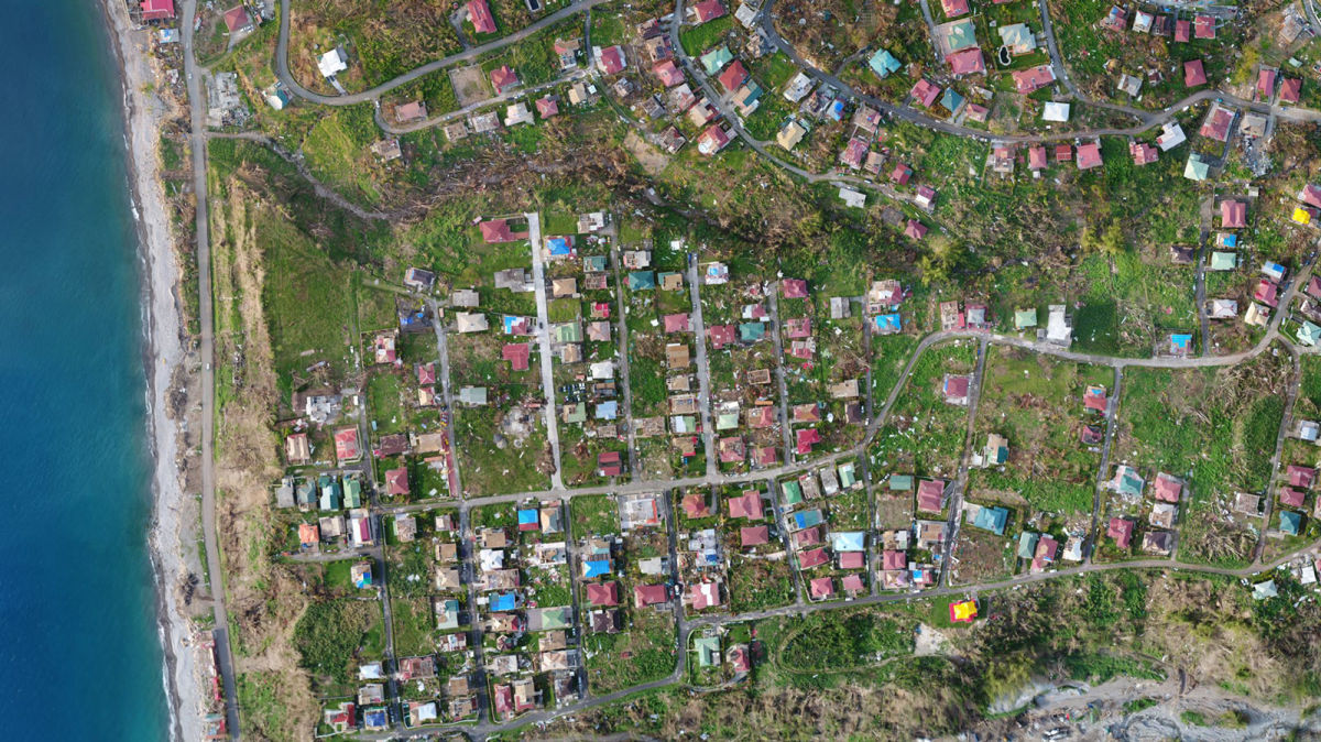
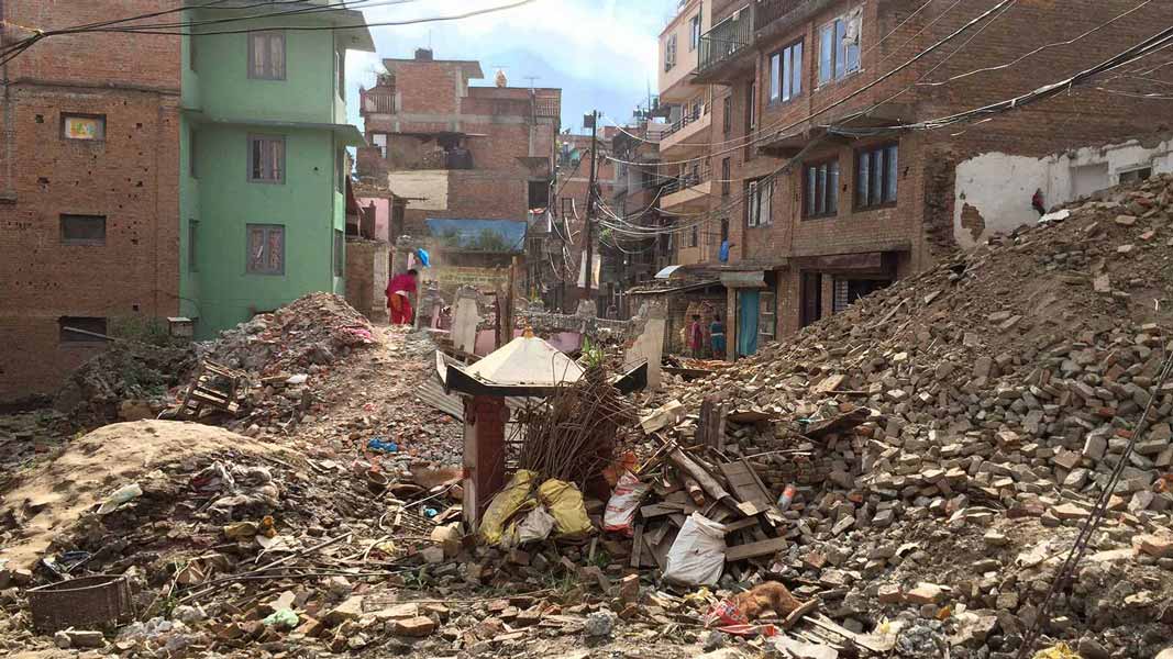
Earthquakes
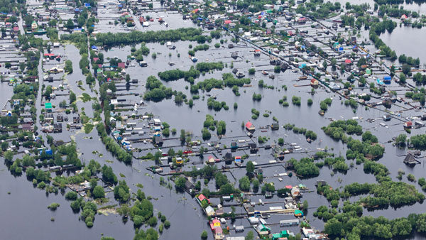
Flooding
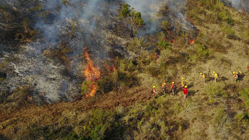
Fires
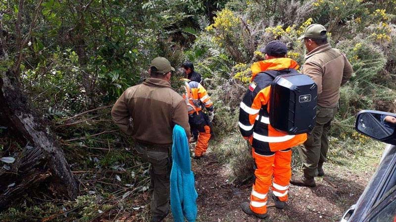
Missing Persons
Tactical Planning
Human Displacement
Software available in English, Japanese, Spanish, French,
Simplified Chinese, Traditional Chinese, Korean, German, Portuguese, Turkish