Advanced Drone Solutions BC Inc.
Pix4Dmapper
Pix4Dmapper
Couldn't load pickup availability
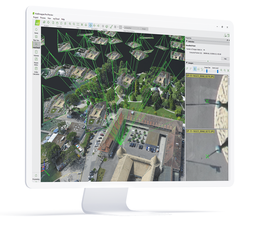
rayCloudtm
The power of photogrammetry software
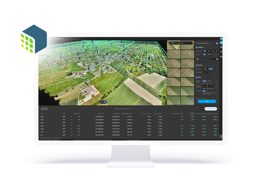
A unique environment connecting your original images to each point of the 3D reconstruction to visually verify and improve the accuracy of your project.
-
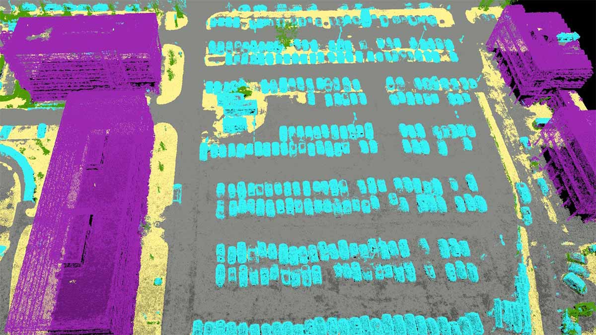
AUTOMATIC POINT CLOUD CLASSIFICATION
-
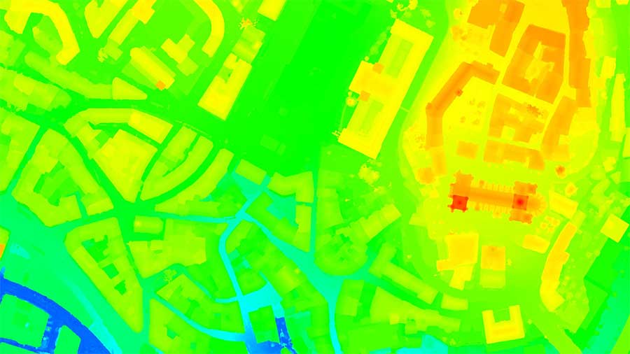
FLATTEN & SMOOTHEN DIGITAL SURFACES
-
EASILY MEASURE SURFACE, DISTANCE & VOLUME
-
CONTROL OVER THE PROJECT ACCURACY
-
DETAILED QUALITY REPORT
Looking at processing over a thousand images?
PIX4Dmatic, the next-generation photogrammetry software, is designed to work with the latest generation of drones and transform your large number of images into accurate point clouds, DSMs and orthomosaics over 40% faster than ever before.
Photos first
Any camera. Any drone. Any imagery. As long as it's a .jpg or a .tif.
RGB Images
Any Drone image
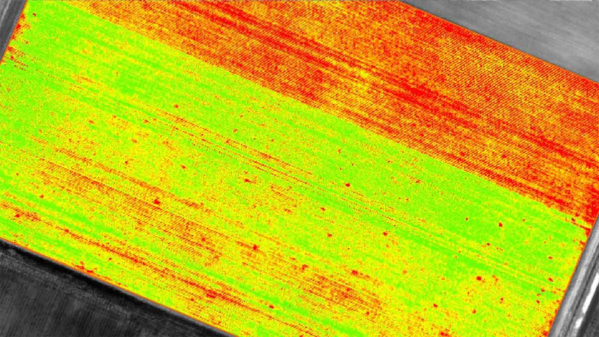
Multispectral images
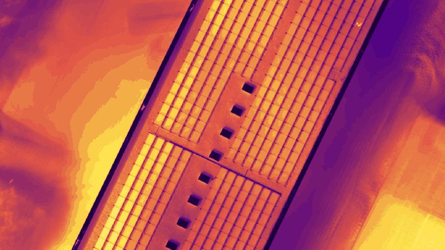
Thermal images
Videos
Camera rig images
360 images
Fisheye images
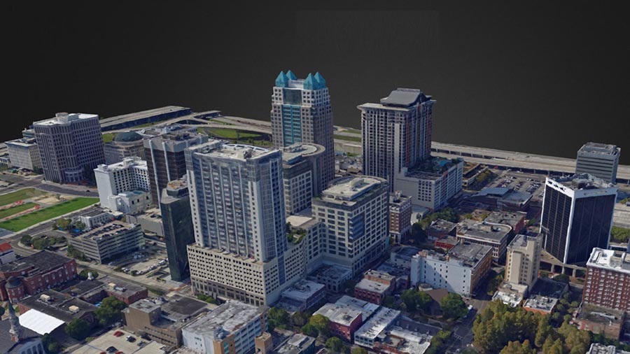
Generate high resolution outputs for any project and use case
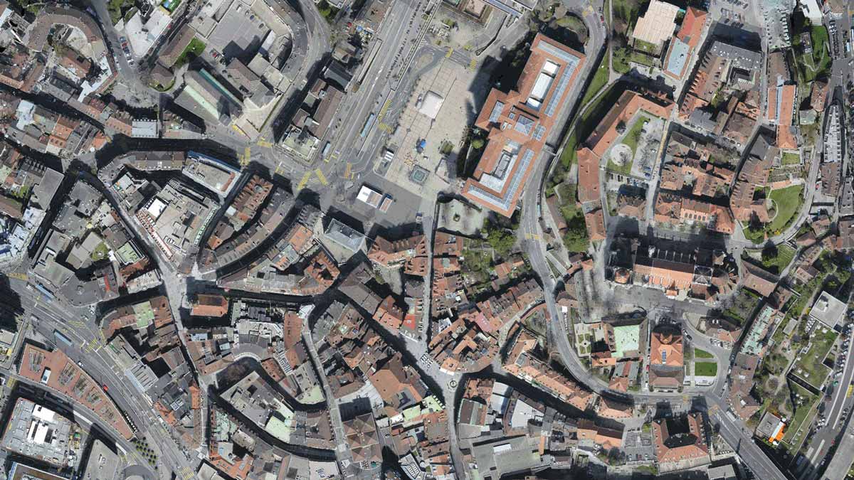
Easily export your digital maps and models to industry-compatible formats for further analysis or reporting
Software available in English, Japanese, Spanish, French,
Simplified Chinese, Traditional Chinese, Korean, German, Portuguese, Turkish
Share
